
 by developing the Lake Superior Headwaters Sustainability Partnership website and decision-support tool (DST).")
Location:
St. Louis River Estuary, Western Lake Superior
Client:
Minnesota Land Trust (MLT)
Our Expert:
LimnoTech supported the Minnesota Land Trust (MLT) by developing the Lake Superior Headwaters Sustainability Partnership website and decision-support tool (DST) to help agencies and other stakeholders guide and prioritize projects at the site scale, providing continuity across the landscape scale of the Lower St. Louis River watershed and estuary.
The Challenge
LimnoTech supported the MLT in the development of a landscape conservation design for the Lower St. Louis River, based on the U.S. Fish and Wildlife Service’s approach to conservation planning at large spatial scales. The Lower St. Louis River was designated as an Area of Concern (AOC), which is a bi-national designation by the U.S. and Canada for geographic areas in the Great Lakes where beneficial uses have been severely degraded. Significant efforts from bi-state (Minnesota and Wisconsin) and federal agencies have been undertaken to restore beneficial uses in the AOC.
To further build on the ongoing remediation and restoration efforts, MLT is leading a multi-sector, multi-jurisdictional effort to guide watershed protection and restoration activities. Planning and framing are conducted at multiple scales (landscape, watershed, and site-scales) to identify issues and sources contributing to water quality, sediment, and habitat degradation, as well as to identify areas of overlap among natural resource, economic development, and community health sectors. Ultimately, conceptual restoration designs that integrate interests from all three sectors will be developed for the eight geographic zones in the estuary.
How We Helped
LimnoTech supported the MLT at the initial stages of the landscape conservation design process through the development and implementation of the Lake Superior Headwaters Sustainability Partnership (Headwaters Partnership). The initial work focused on compiling spatial data to create and expand a geographic information system (GIS) geodatabase of spatially-based plans for the St. Louis River Estuary in Minnesota and Wisconsin, along with related environmental and political data. Our team also supported a landscape-scale and site-scale ‘issues and opportunities analysis’ that included stakeholder engagement. This work served as a building block for the overall conservation design process.
LimnoTech continued to support the MLT with the development of a planning framework and a decision support tool for community outreach to prioritize projects and a prototype restoration vision for Allouez Bay. Specific tasks included:
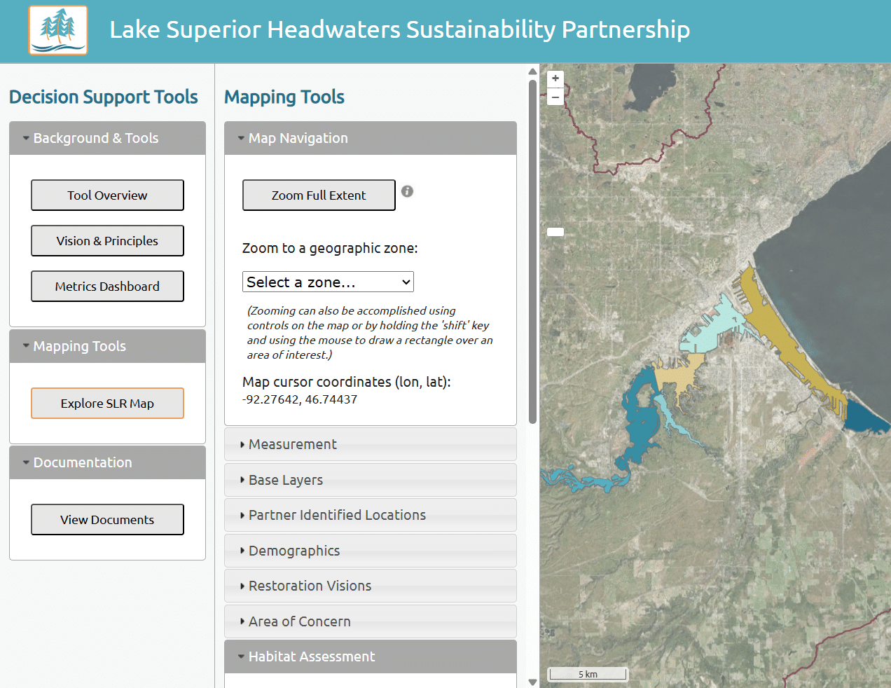
- Development of the Lake Superior Headwaters Sustainability Partnership website and decision-support tool (DST) to help guide and prioritize projects at the site scale and provide continuity across the landscape scale of the Lower St. Louis River watershed and estuary. The website and DST include Headwaters Partnership’s vision and principles, mapping tools, a metrics dashboard, and links to relevant SLRE documents developed by partners working on conservation efforts.
- Perform “Level 1” analyses for several geographic zones (meso-scale), which included the following elements: geographic zone overview, jurisdictions (federal, tribal, state, county, city, township), natural resource management concerns, desired future conditions, issue analysis, projects/programming relevant to the sub-planning area, stakeholder analysis, cross-cutting themes, research needs, metrics for progress monitoring, and program coordination.
- Support “Level 2” analysis for Allouez Bay, which included the development of a conceptual restoration as a plan view (georeferenced in the DST).
LimnoTech is continuing to provide support with the maintenance and enhancement of the existing DST and related community outreach, along with the development of system-wide environmental justice (EJ) indicators that are summarized on a dashboard and support evaluation of the established Headwaters Partnership environmental justice objectives.
C#, .NET, jQuery, PostgreSQL, PostGIS, GeoServer
Projects
-
 View Image
Read about this project: Green Infrastructure Planning & Design at the Historic Congressional Cemetery, Washington, DC
Green Infrastructure Planning & Design at the Historic Congressional Cemetery, Washington, DCClimate Change Resiliency & Adaptation Urban Ecology & Naturalization Urban Wet Weather Water Resource Investigation & Management
View Image
Read about this project: Green Infrastructure Planning & Design at the Historic Congressional Cemetery, Washington, DC
Green Infrastructure Planning & Design at the Historic Congressional Cemetery, Washington, DCClimate Change Resiliency & Adaptation Urban Ecology & Naturalization Urban Wet Weather Water Resource Investigation & Management -
View Image
Read about this project: Community-Based Organization Capacity Building Initiative for the Chesapeake Bay Trust
Community-Based Organization Capacity Building Initiative for the Chesapeake Bay TrustClimate Change Resiliency & Adaptation Urban Ecology & Naturalization Urban Wet Weather Water Resource Investigation & Management
-
Anacostia River Corridor Restoration Plan, Washington, DCBiological/Habitat Assessment & Management Climate Change Resiliency & Adaptation Urban Wet Weather Water Resource Investigation & Management Waterway & Ecosystem Restoration
-
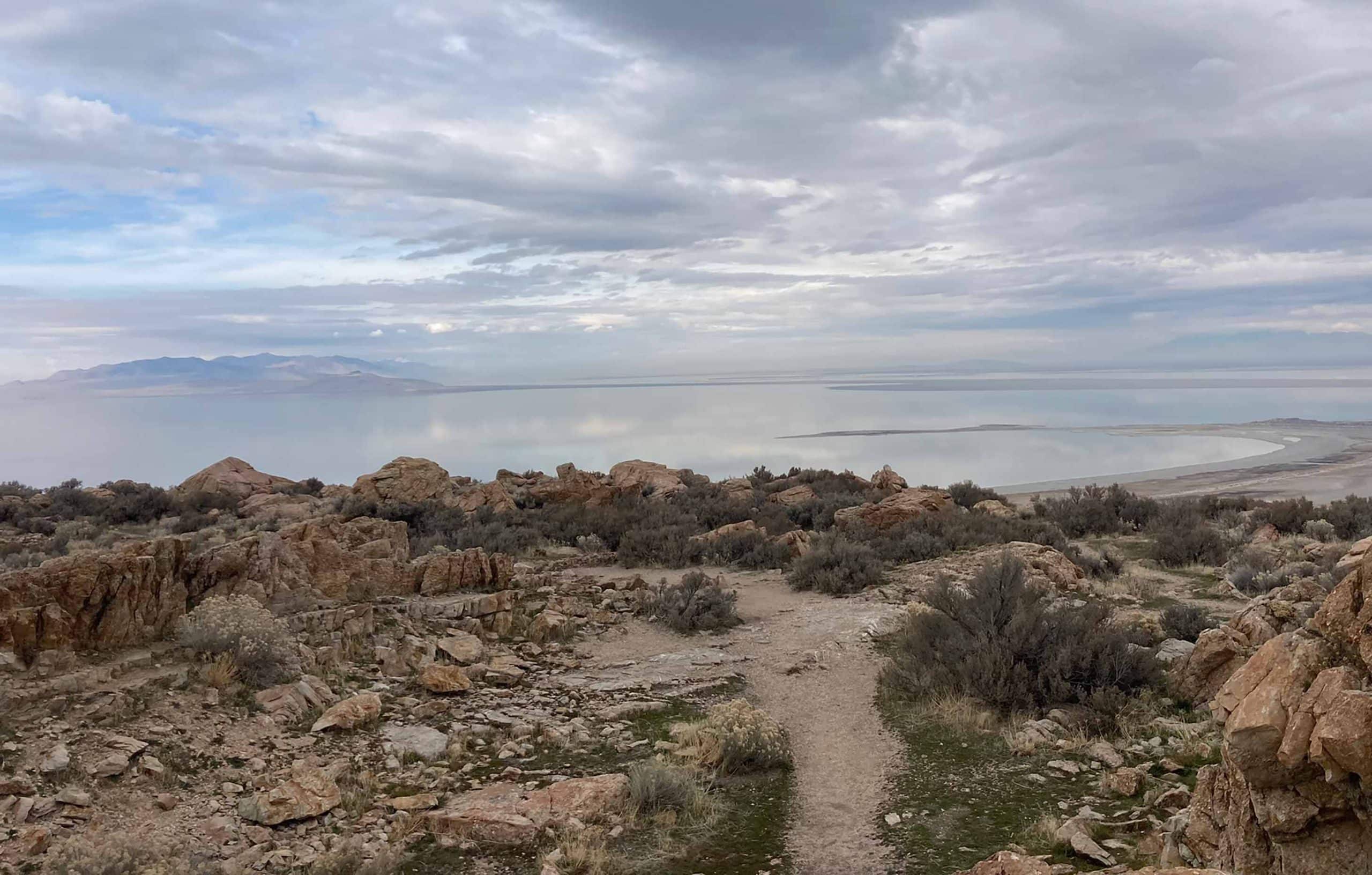
Great Salt Lake Stormwater Study, UtahClimate Change Resiliency & Adaptation Groundwater Supply & Remediation Urban Wet Weather Water Resource Investigation & Management Water Resources Modeling
-
Biodiversity Benefit Accounting (BioBA)Biological/Habitat Assessment & Management Climate Change Resiliency & Adaptation Sustainable Agriculture Water Resource Investigation & Management Water Stewardship
-
Water Quality Benefit Accounting (WQBA)Agricultural Environmental Services Climate Change Resiliency & Adaptation Sustainable Agriculture Water Resource Investigation & Management Water Stewardship
-
View Image
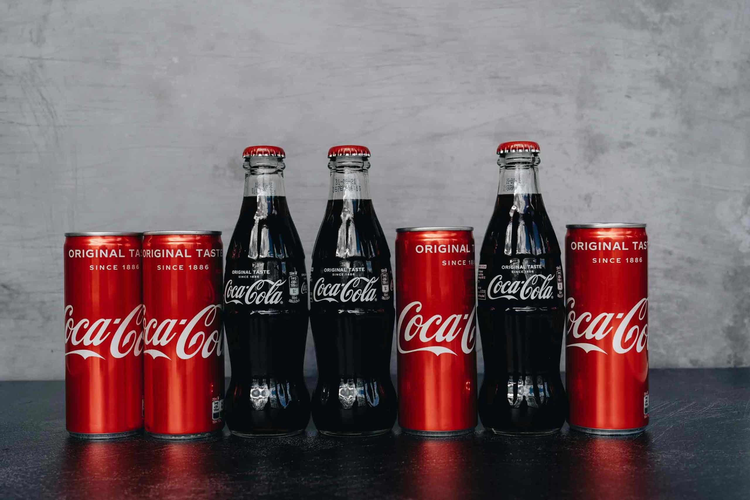
Read about this project: Programmatic and Technical Support for Coca-Cola’s Water Replenish Program
Programmatic and Technical Support for Coca-Cola’s Water Replenish ProgramAgricultural Environmental Services Climate Change Resiliency & Adaptation Environmental Data & Information Management Environmental Software Application Development Water Resource Investigation & Management Water Resources Modeling Water Stewardship Waterway & Ecosystem Restoration
-
H2Oquirrh – Southwest Waterways Visioning PlanGroundwater Supply & Remediation Urban Ecology & Naturalization Waterway & Ecosystem Restoration
-
View Image
Read about this project: Upper Wolf Creek and Ottawa-Stony Watershed Management Plans, Michigan
Upper Wolf Creek and Ottawa-Stony Watershed Management Plans, MichiganAgricultural Environmental Services Water Quality Monitoring Water Resource Investigation & Management Water Resources Modeling
-
View Image
Read about this project: Lake Superior Headwaters Sustainability Partnership Decision Support Tool
Lake Superior Headwaters Sustainability Partnership Decision Support ToolClimate Change Resiliency & Adaptation Environmental Data & Information Management Environmental Software Application Development Water Resource Investigation & Management Waterway & Ecosystem Restoration