

Location:
Southeast Michigan
Clients:
River Raisin Watershed Council (RRWC) and Washtenaw County Conservation District (WCCD)
Partners:
Loch Erin Property Owner’s Association and Monroe Conservation District (MCD)
Our Expert:
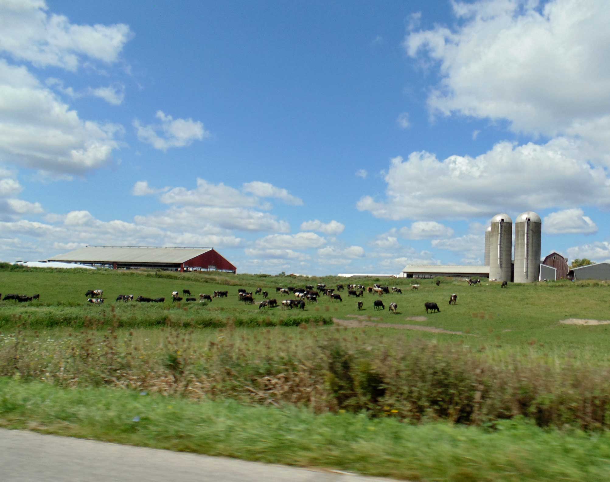
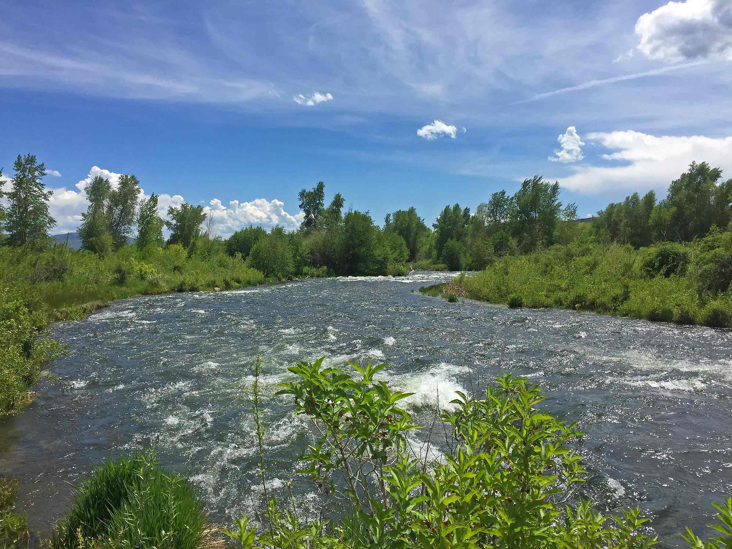
Collaborating with the River Raisin Watershed Council (RRWC), Washtenaw County Conservation District (WCCD), and others, LimnoTech completed USEPA-approved nine-element watershed management plans for two agriculturally dominated areas in Southeast Michigan: the Upper Wolf Creek and Ottawa-Stony North watersheds.
The Challenge
Two rural watersheds in Southeast Michigan, the Upper Wolf Creek and Ottawa-Stony North, have experienced water quality impairments. Waterbodies in these basins have several unsupported uses, including fish consumption, partial and total body contact recreation due to high E. coli levels, and other indigenous aquatic life and wildlife (which means support for reproduction of indigenous animals, plants, and insects) because of elevated phosphorus loading leading to algal blooms in an inland lake (for Wolf Creek) and Lake Erie (for Ottawa-Stony North).
How We Helped
LimnoTech completed the development of USEPA-approved nine-element watershed management plans for the Upper Wolf Creek and Ottawa-Stony North watersheds. The project team, led by LimnoTech, included the local watershed council, a lake property owners association, and county conservation districts.
While working on the development of an approvable Section 319 nine-element plan, LimnoTech completed grant administration tasks and performed several technical tasks to help target specific Critical Source Areas (CSAs) that contribute to elevated bacteria and nutrient levels and to identify implementable solutions to improve water quality.
Specific tasks performed included:
- Developing quality assurance project plans for performing agricultural inventory and water quality monitoring work.
- Executing an agricultural inventory process developed by the state that included analyzing windshield survey data for patterns in tillage and residue, utilizing output from the Agricultural Conservation Planning Framework (ACPF), analyzing aerial imagery to identify priority livestock operations and areas for implementing riparian buffers, and developing a field prioritization hierarchy for identifying high-priority areas.
- Supported monitoring for collecting streamflow and water quality data and analyzed datasets.
- Based on the field prioritization work and mapping, a list of recommended BMPs and implementation strategies was developed to achieve the desired water quality outcomes.
- Throughout the three-year process, LimnoTech maintained frequent communication with the state regulatory agency, the Environment, Great Lakes, and Energy (EGLE), and other project partners, including county health departments, county drain commissioners, other public entities, and members of the farming community.
The watershed management plan serves as a guiding document for identifying stressors, prioritizing locations for restoration and protection, and recommending management actions to improve the water quality within the watershed.
Projects
-
 View Image
Read about this project: Green Infrastructure Planning & Design at the Historic Congressional Cemetery, Washington, DC
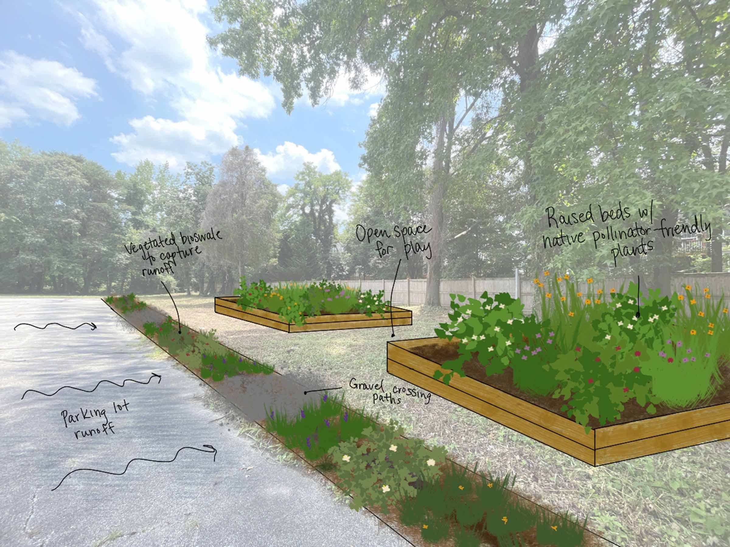
Green Infrastructure Planning & Design at the Historic Congressional Cemetery, Washington, DCClimate Change Resiliency & Adaptation Urban Ecology & Naturalization Urban Wet Weather Water Resource Investigation & Management
View Image
Read about this project: Green Infrastructure Planning & Design at the Historic Congressional Cemetery, Washington, DC
Green Infrastructure Planning & Design at the Historic Congressional Cemetery, Washington, DCClimate Change Resiliency & Adaptation Urban Ecology & Naturalization Urban Wet Weather Water Resource Investigation & Management -
View Image
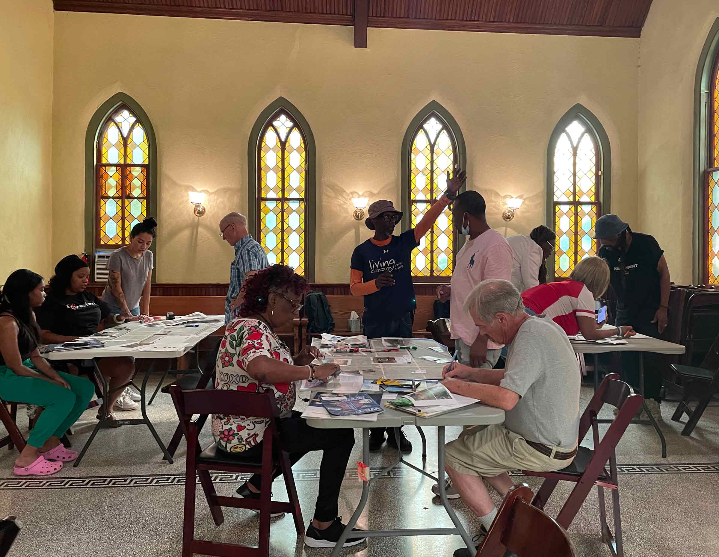
Read about this project: Community-Based Organization Capacity Building Initiative for the Chesapeake Bay Trust
Community-Based Organization Capacity Building Initiative for the Chesapeake Bay TrustClimate Change Resiliency & Adaptation Urban Ecology & Naturalization Urban Wet Weather Water Resource Investigation & Management
-
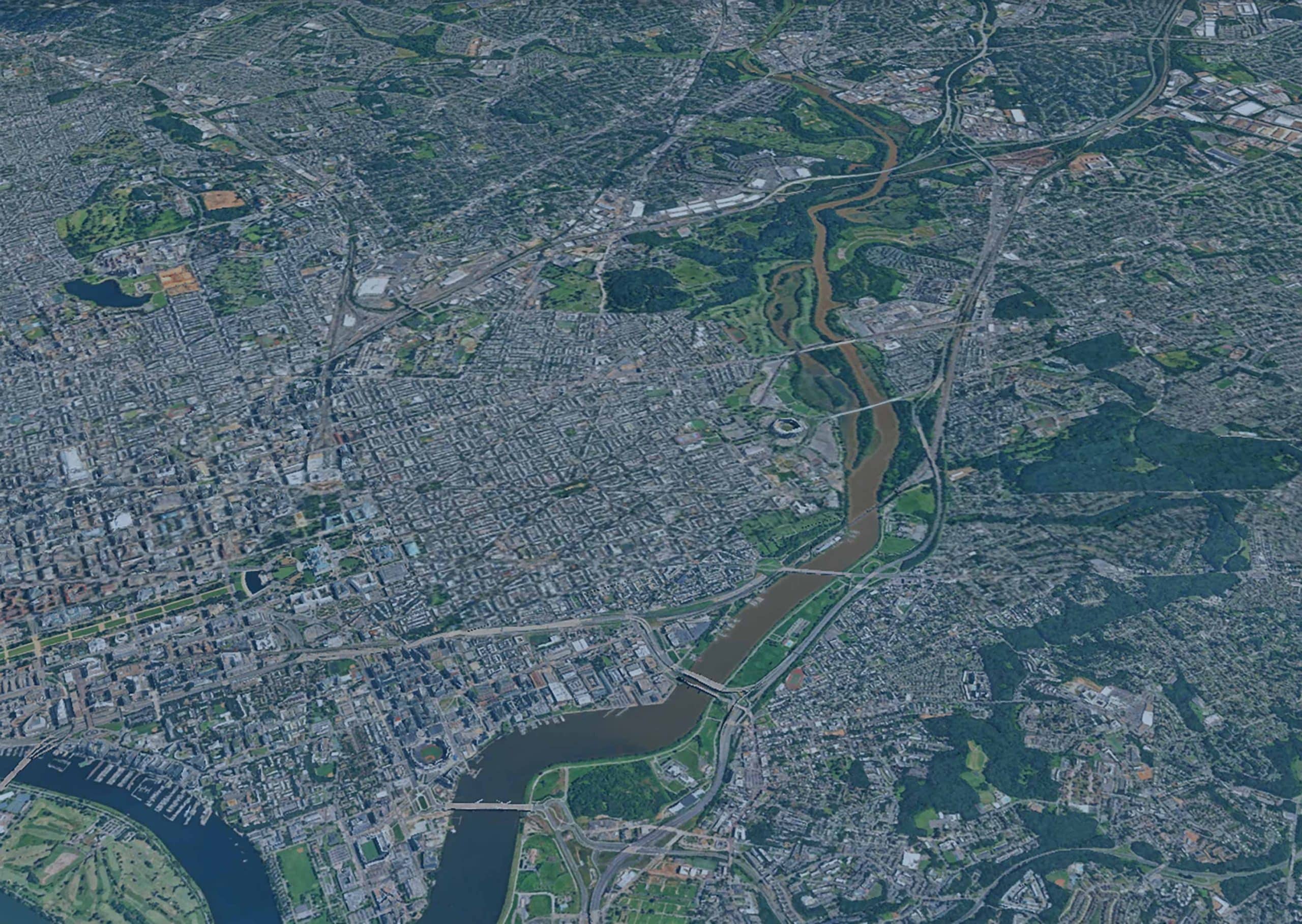
Anacostia River Corridor Restoration Plan, Washington, DCBiological/Habitat Assessment & Management Climate Change Resiliency & Adaptation Urban Wet Weather Water Resource Investigation & Management Waterway & Ecosystem Restoration
-
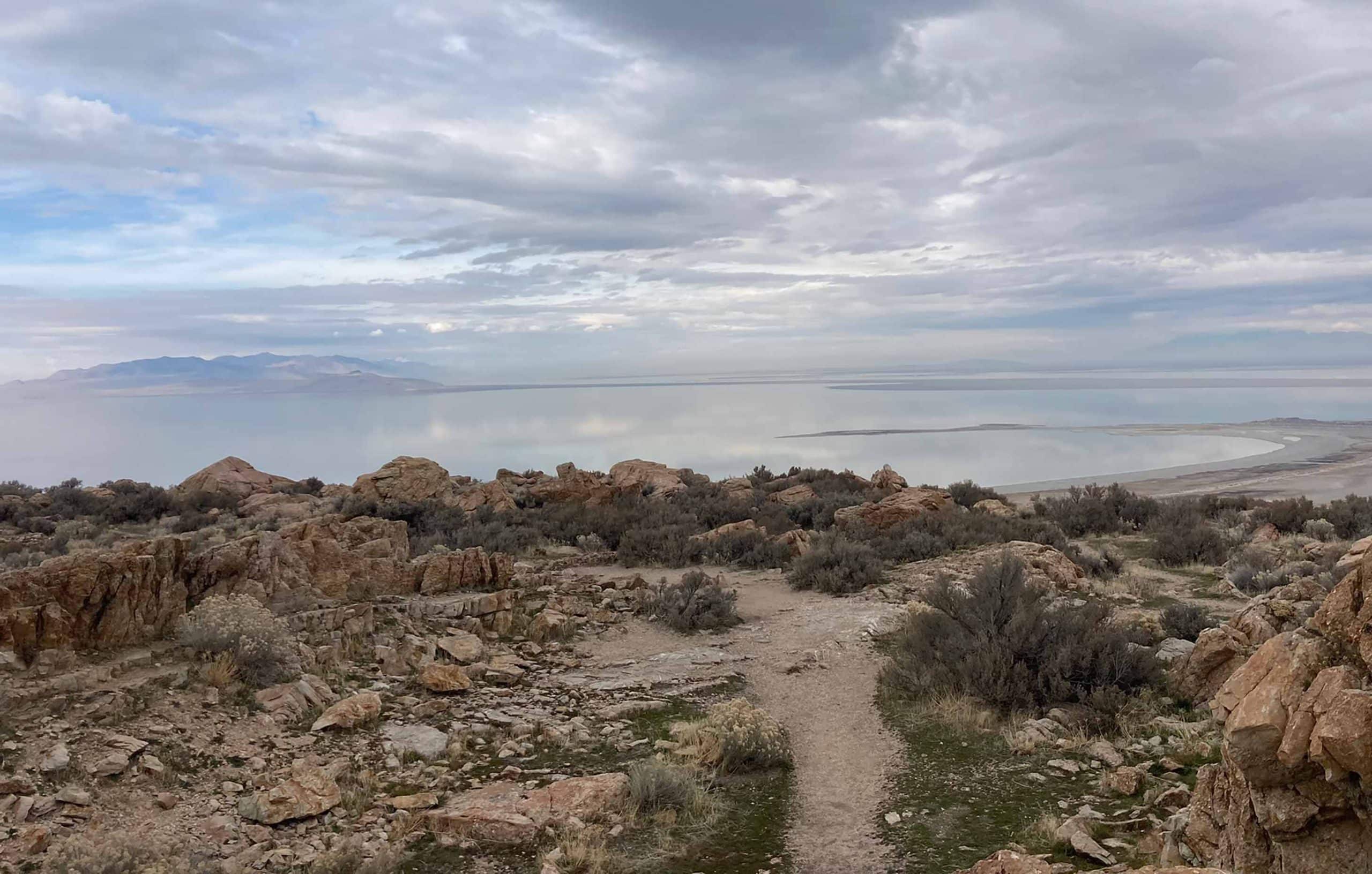
Great Salt Lake Stormwater Study, UtahClimate Change Resiliency & Adaptation Groundwater Supply & Remediation Urban Wet Weather Water Resource Investigation & Management Water Resources Modeling
-
Biodiversity Benefit Accounting (BioBA)Biological/Habitat Assessment & Management Climate Change Resiliency & Adaptation Sustainable Agriculture Water Resource Investigation & Management Water Stewardship
-
Water Quality Benefit Accounting (WQBA)Agricultural Environmental Services Climate Change Resiliency & Adaptation Sustainable Agriculture Water Resource Investigation & Management Water Stewardship
-
View Image
Read about this project: Programmatic and Technical Support for Coca-Cola’s Water Replenish Program
Programmatic and Technical Support for Coca-Cola’s Water Replenish ProgramAgricultural Environmental Services Climate Change Resiliency & Adaptation Environmental Data & Information Management Environmental Software Application Development Water Resource Investigation & Management Water Resources Modeling Water Stewardship Waterway & Ecosystem Restoration
-
View Image
Read about this project: Upper Wolf Creek and Ottawa-Stony Watershed Management Plans, Michigan
Upper Wolf Creek and Ottawa-Stony Watershed Management Plans, MichiganAgricultural Environmental Services Water Quality Monitoring Water Resource Investigation & Management Water Resources Modeling
-
View Image
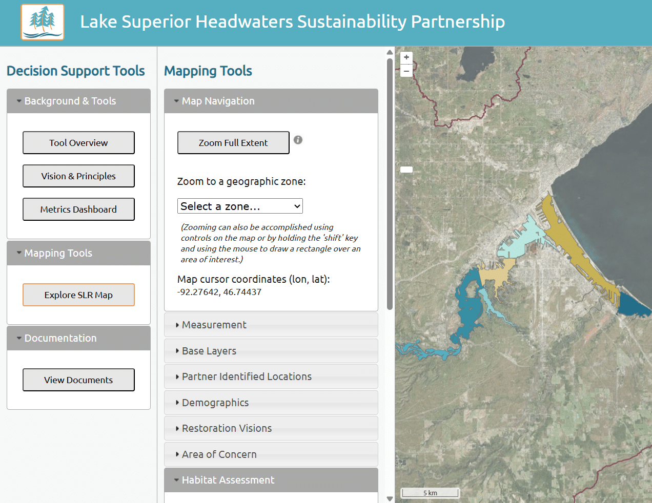
Read about this project: Lake Superior Headwaters Sustainability Partnership Decision Support Tool
Lake Superior Headwaters Sustainability Partnership Decision Support ToolClimate Change Resiliency & Adaptation Environmental Data & Information Management Environmental Software Application Development Water Resource Investigation & Management Waterway & Ecosystem Restoration
-
WASH Benefits Accounting FrameworkClimate Change Resiliency & Adaptation Water Resource Investigation & Management Water Stewardship