


Location:
Greenbelt, Maryland
Client:
City of Greenbelt
Our Expert:
LimnoTech evaluated the causes of inland flooding for the Historic Center of the City of Greenbelt, Maryland, to better understand where and under what circumstances flooding occurs. Through community input and modeling of the surface and subsurface stormwater conveyance systems, LimnoTech created localized flood inundation maps and developed flood mitigation recommendations. The Greenbelt Community Flood Resiliency Plan can serve as a roadmap to inform capital planning and infrastructure investments, and unlock available state and federal grant funding.
The Challenge
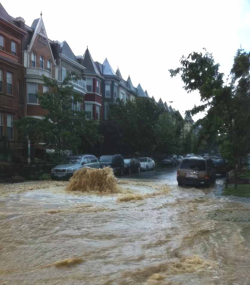
In recent years, the community of Greenbelt has experienced serious inland flooding, particularly during the late summer months when severe local thunderstorms unleash large rainfall amounts in short periods of time. These intense rain events overwhelm the local drainage system, causing localized flooding in low-lying areas around the city that threatens residents’ safety and damages properties and critical infrastructure. The city retained LimnoTech to develop a Community Flood Resiliency Plan to better understand and identify the local flood problem areas, identify the potential causes of flooding, and develop flood mitigation recommendations.
The Solution & Outcome
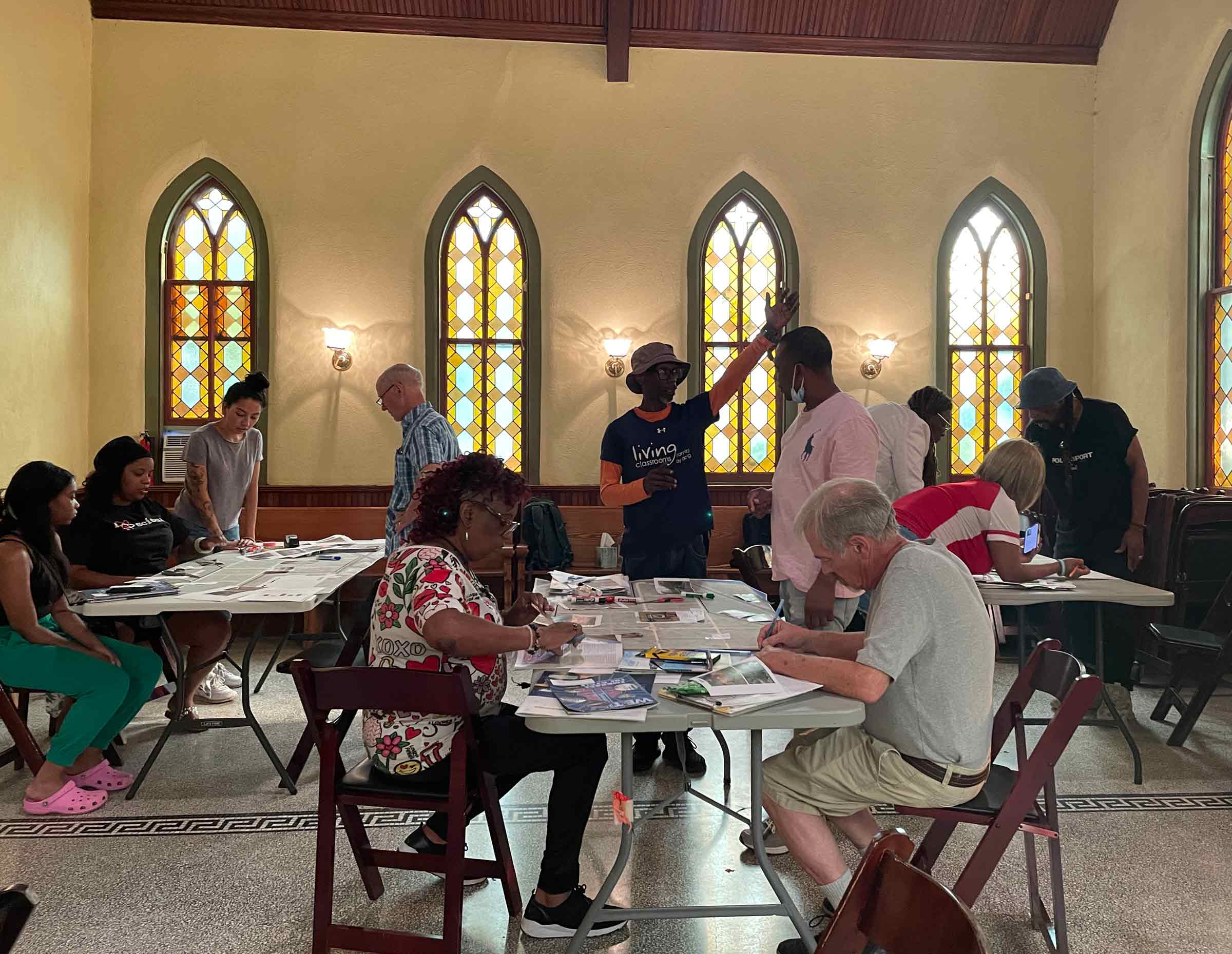
LimnoTech developed a public engagement strategy to inform the Community Flood Resiliency Plan, particularly with respect to identifying locations of flood concern on a map of Central/Historic Greenbelt. The primary method of public engagement to create the map was through a web-based form where users could share and add information about flooding concerns. This engagement was supplemented with an in-person public meeting where community members contributed to a participatory mapping activity. The outcome of the public engagement was a map that shows areas that are prone to flooding, along with qualitative information on the severity and type of flooding.
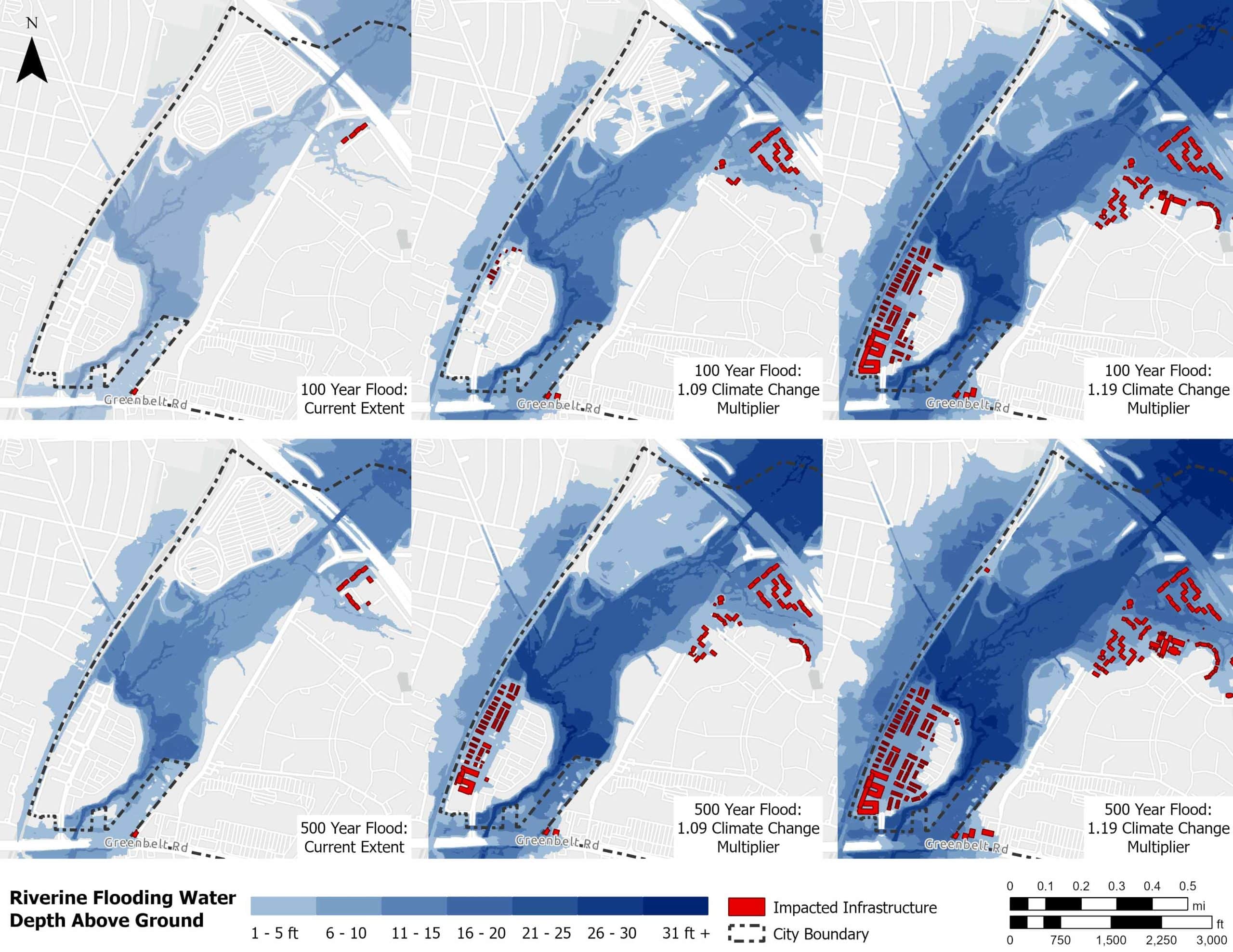
LimnoTech assessed the flood potential of the area within Central/Historic Greenbelt by modeling the movement and accumulation of water in the local surface landscape as well as in the subsurface storm sewer. Different types of historic and design rainfall events were used in the modeling, and the effects of climate change on flood locations and flood depths were also evaluated. The modeling analysis highlighted several areas particularly susceptible to inland flooding due to a combination of inadequate storm sewer capacity and excessive overland stormwater flows.
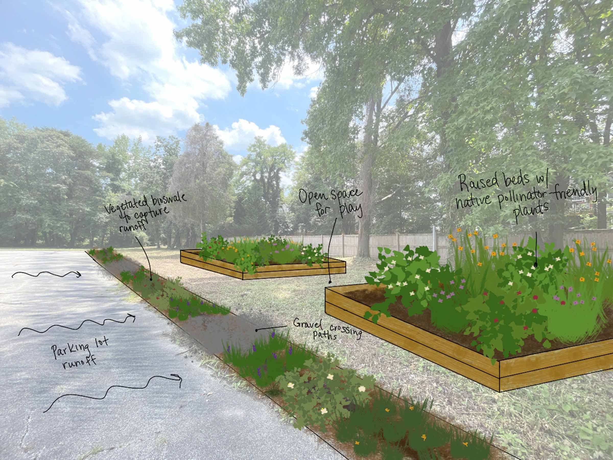
LimnoTech provided green and gray infrastructure recommendations for flood mitigation. Gray infrastructure solutions for flood mitigation typically involve replacing or enhancing the existing engineered stormwater system to increase the efficiency of the system to safely convey stormwater from areas where flooding is observed to downstream areas where additional stormwater will not cause flooding or will not cause human or property damage. Green infrastructure solutions for flood mitigation typically involve capturing and infiltrating rainwater where it falls, often by using vegetative practices. This reduces the stormwater flows and volumes that contribute to flooding. Green infrastructure solutions typically manage smaller volumes of stormwater compared to grey infrastructure, so a hybrid combination of green and gray infrastructure may be needed in some locations to maximize flood potential reduction.
The Greenbelt Community Flood Resilience Plan identifies local flood problem areas and their causes in Central/Historic Greenbelt and provides recommendations for flood mitigation. The information provided by the Plan can be integrated and used by the City to inform decisions on the direction of future capital improvement projects and guiding policies, and provides potential next steps for additional future flood-related assessments to refine the analysis and recommendations.
Projects
-
Flood Protection Studies, Washington, DCClimate Change Resiliency & Adaptation Collection System Modeling Hydraulics & Computational Fluid Dynamics Permits & Standards Urban Wet Weather Water Resources Modeling
-
 View Image
Read about this project: Green Infrastructure Planning & Design at the Historic Congressional Cemetery, Washington, DC
Green Infrastructure Planning & Design at the Historic Congressional Cemetery, Washington, DCClimate Change Resiliency & Adaptation Urban Ecology & Naturalization Urban Wet Weather Water Resource Investigation & Management
View Image
Read about this project: Green Infrastructure Planning & Design at the Historic Congressional Cemetery, Washington, DC
Green Infrastructure Planning & Design at the Historic Congressional Cemetery, Washington, DCClimate Change Resiliency & Adaptation Urban Ecology & Naturalization Urban Wet Weather Water Resource Investigation & Management -
View Image
Read about this project: Community-Based Organization Capacity Building Initiative for the Chesapeake Bay Trust
Community-Based Organization Capacity Building Initiative for the Chesapeake Bay TrustClimate Change Resiliency & Adaptation Urban Ecology & Naturalization Urban Wet Weather Water Resource Investigation & Management
-
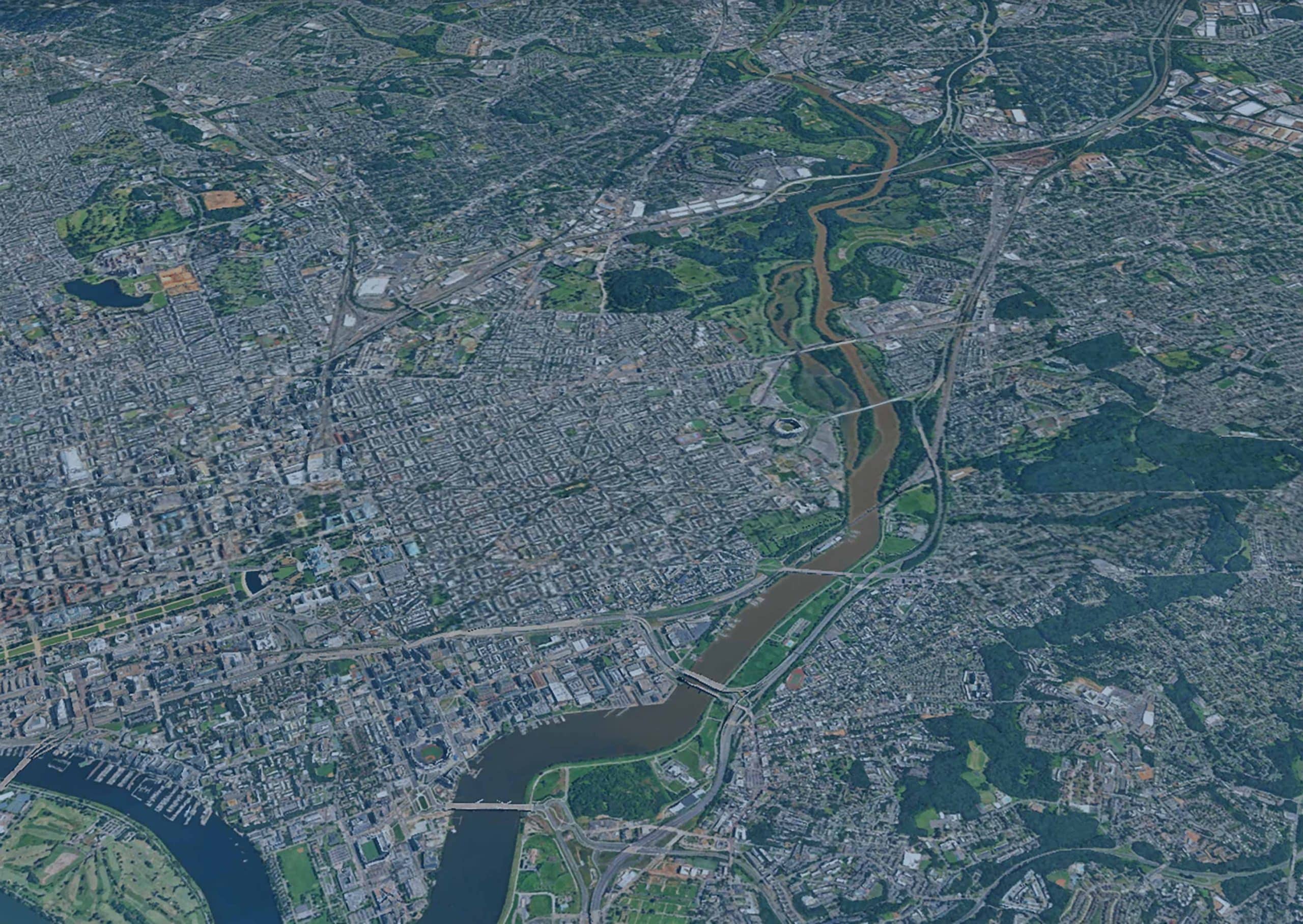
Anacostia River Corridor Restoration Plan, Washington, DCBiological/Habitat Assessment & Management Climate Change Resiliency & Adaptation Urban Wet Weather Water Resource Investigation & Management Waterway & Ecosystem Restoration
-
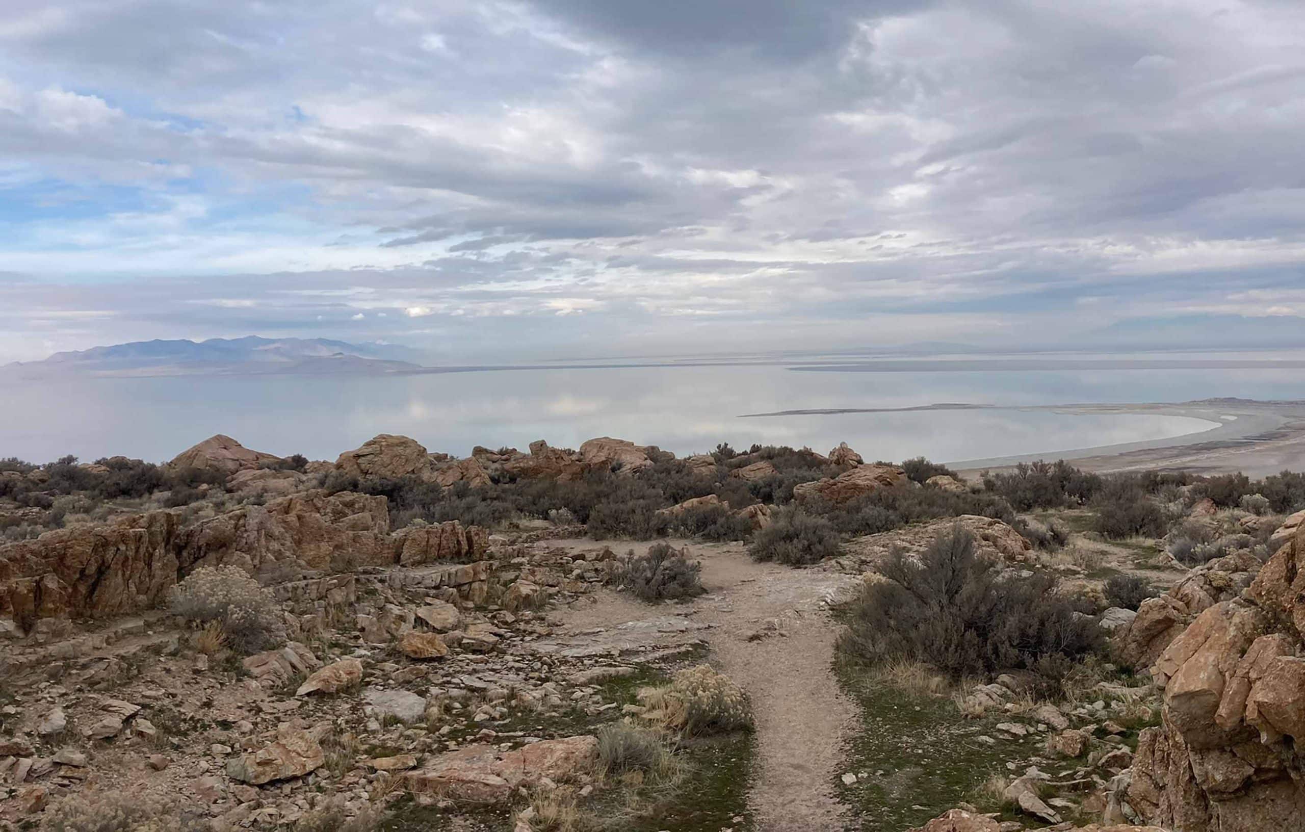
Great Salt Lake Stormwater Study, UtahClimate Change Resiliency & Adaptation Groundwater Supply & Remediation Urban Wet Weather Water Resource Investigation & Management Water Resources Modeling
-
Biodiversity Benefit Accounting (BioBA)Biological/Habitat Assessment & Management Climate Change Resiliency & Adaptation Sustainable Agriculture Water Resource Investigation & Management Water Stewardship
-
Water Quality Benefit Accounting (WQBA)Agricultural Environmental Services Climate Change Resiliency & Adaptation Sustainable Agriculture Water Resource Investigation & Management Water Stewardship
-
View Image
Read about this project: Programmatic and Technical Support for Coca-Cola’s Water Replenish Program
Programmatic and Technical Support for Coca-Cola’s Water Replenish ProgramAgricultural Environmental Services Climate Change Resiliency & Adaptation Environmental Data & Information Management Environmental Software Application Development Water Resource Investigation & Management Water Resources Modeling Water Stewardship Waterway & Ecosystem Restoration
-
H2Oquirrh – Southwest Waterways Visioning PlanGroundwater Supply & Remediation Urban Ecology & Naturalization Waterway & Ecosystem Restoration
-
View Image
Read about this project: Lake Superior Headwaters Sustainability Partnership Decision Support Tool
Lake Superior Headwaters Sustainability Partnership Decision Support ToolClimate Change Resiliency & Adaptation Environmental Data & Information Management Environmental Software Application Development Water Resource Investigation & Management Waterway & Ecosystem Restoration