

Location:
Washington, DC
Clients:
DC Water, Federal Emergency Management Agency (FEMA)
Partners:
Greeley and Hansen (A TYLin Company)
Our Expert:
Washington, DC (hereafter, the District), has been plagued by flooding in its neighborhoods since its establishment. Intensified precipitation, increased impervious surfaces, and delayed infrastructure improvements have exacerbated the situation. LimnoTech has contributed to flooding studies to identify the causes and evaluate alternative solutions throughout the District. Among the alternatives LimnoTech evaluated were sewer system upgrades, deep tunnel storage, surface storage, inlet improvements, and green infrastructure. LimnoTech’s work was used in planning for the implementation of these mitigation methods and infrastructure upgrades.
The Challenge
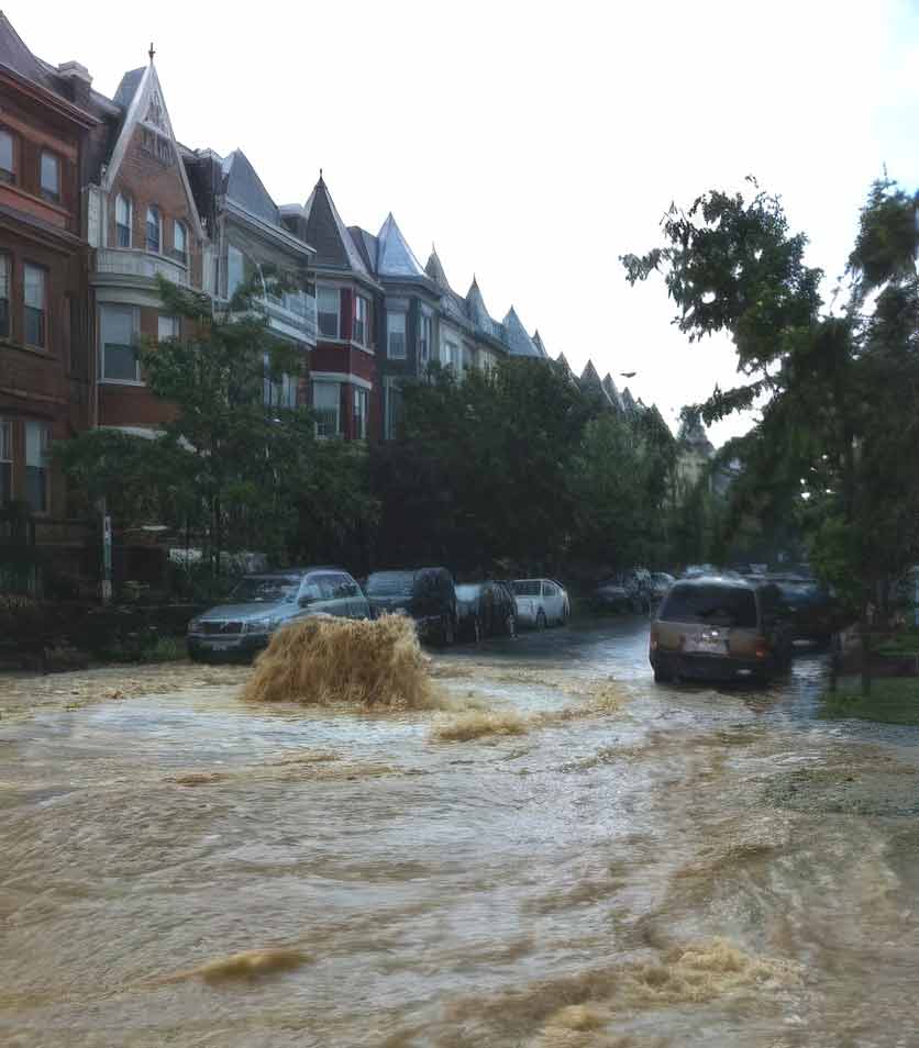
A changing climate and legacy infrastructure have brought challenges in keeping communities safe and providing expected levels of service. Extreme precipitation events are increasingly causing urban sewer backups, flooding, and disruptions of our everyday lives. For example, the Federal Triangle area of Washington, DC, which houses many federal office buildings and museums, was severely flooded during a two-day rainfall event in June 2006. The rain event totaled 7 to 12 inches, and Constitution Avenue flooded with up to 3 feet of water. Buildings in the corridor sustained significant basement flooding, causing tens of millions of dollars in damage. Several years later, intense, localized rainfall in July and September 2012 caused stormwater and combined sewage flooding in the Bloomingdale and LeDroit Park neighborhoods.
Other flooding issues are caused by undersized infrastructure. The Palisades neighborhood includes an area near the Potomac River that was experiencing chronic flooding due to the limited capacity of the storm sewer network and the area’s topography. Our clients needed to understand the causes of these flooding occurrences and to evaluate alternatives.
The Outcome
For the Federal Triangle study, LimnoTech used the MIKE 21 two-dimensional hydrodynamic flow model to simulate surface flow, ponding level on streets and sidewalks, and interaction with the existing collection system model. LimnoTech added pipe detail and catch basin elements to its MIKE URBAN model to better represent the infrastructure in the Federal Triangle area, and applied a digital elevation model of the Federal Triangle drainage basin for use in the MIKE 21 hydrodynamic flow model. The coupled models were calibrated to the June 2006 flooding event. Combined-probability rainfall design storm and river flood stage scenarios were simulated to predict the flooding extent under those conditions, and to determine an acceptable level of flood control. LimnoTech developed flood control scenarios that evaluated control alternatives, including additional pumping capacity, storage tunnels, and low-impact development.
For the Bloomingdale and Le Droit Pak neighborhoods, LimnoTech developed a two-dimensional surface runoff model to analyze inlet and sewer restrictions. Modeling results provided the basis for sewer-to-tunnel diversion structures and street inlet improvements. Results from the surface model were used to inform engineering design decisions, including additional surface inlet size and placement, tunnel shaft design, inlet cleaning protocol, and low-impact development siting. A novel solution to this neighborhood’s systemic flooding issues was the repurposing of the McMillan Sand Filtration Site, an underground vault previously used for drinking water storage and treatment. The model results provided both quantitative and qualitative insight into surface drainage patterns and locations with inlet capacity issues.
For the Pacific Palisades neighborhood, LimnoTech conducted detailed modeling of the stormwater network, determined the extent of flooding under various wet weather conditions, and proposed alternatives to reduce or relieve flooding. LimnoTech’s modeling of the Palisades included two separate models: one that included only manholes and pipes, used to evaluate the existing collection system capacity, and another, more detailed model that included catch basins and streets represented as open channels, which was used to evaluate surface flows. LimnoTech also evaluated the ability of several proposed green infrastructure practices to reduce flooding, such as detention ponds, rain gardens, green roofs, and pervious pavement.
Projects
-
Flood Protection Studies, Washington, DCClimate Change Resiliency & Adaptation Collection System Modeling Hydraulics & Computational Fluid Dynamics Permits & Standards Urban Wet Weather Water Resources Modeling
-
 View Image
Read about this project: Green Infrastructure Planning & Design at the Historic Congressional Cemetery, Washington, DC
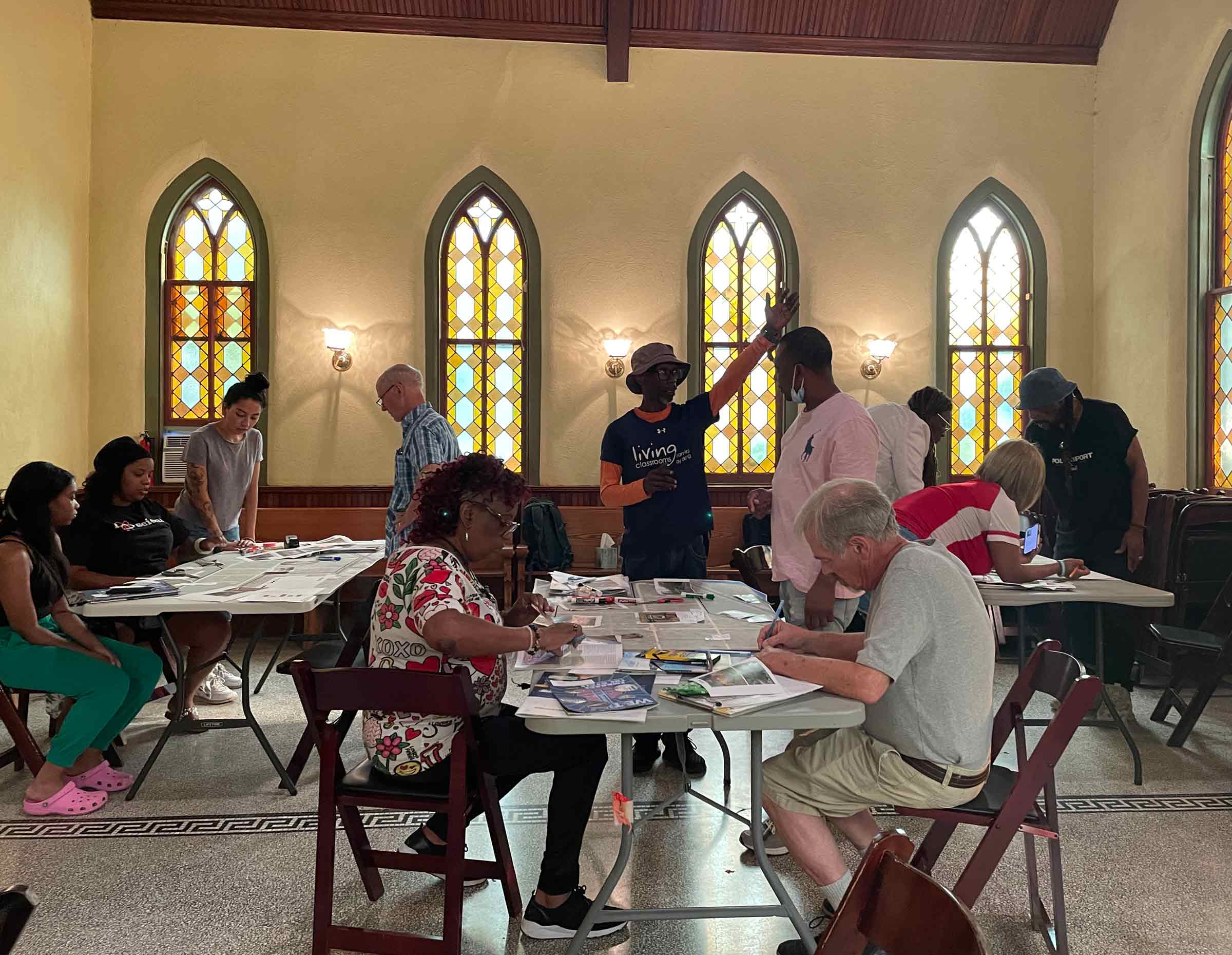
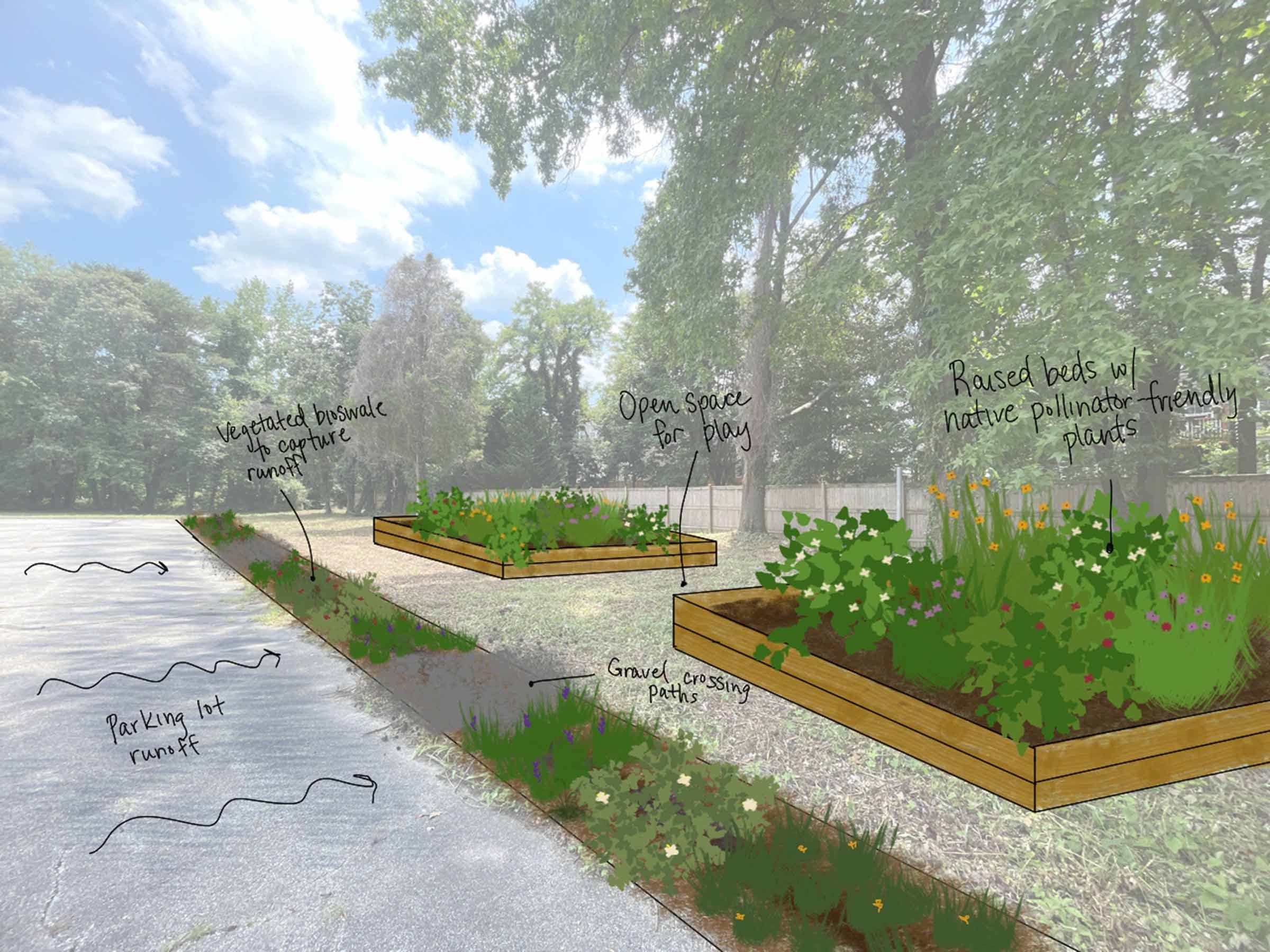
Green Infrastructure Planning & Design at the Historic Congressional Cemetery, Washington, DCClimate Change Resiliency & Adaptation Urban Ecology & Naturalization Urban Wet Weather Water Resource Investigation & Management
View Image
Read about this project: Green Infrastructure Planning & Design at the Historic Congressional Cemetery, Washington, DC
Green Infrastructure Planning & Design at the Historic Congressional Cemetery, Washington, DCClimate Change Resiliency & Adaptation Urban Ecology & Naturalization Urban Wet Weather Water Resource Investigation & Management -
View Image
Read about this project: Community-Based Organization Capacity Building Initiative for the Chesapeake Bay Trust
Community-Based Organization Capacity Building Initiative for the Chesapeake Bay TrustClimate Change Resiliency & Adaptation Urban Ecology & Naturalization Urban Wet Weather Water Resource Investigation & Management
-
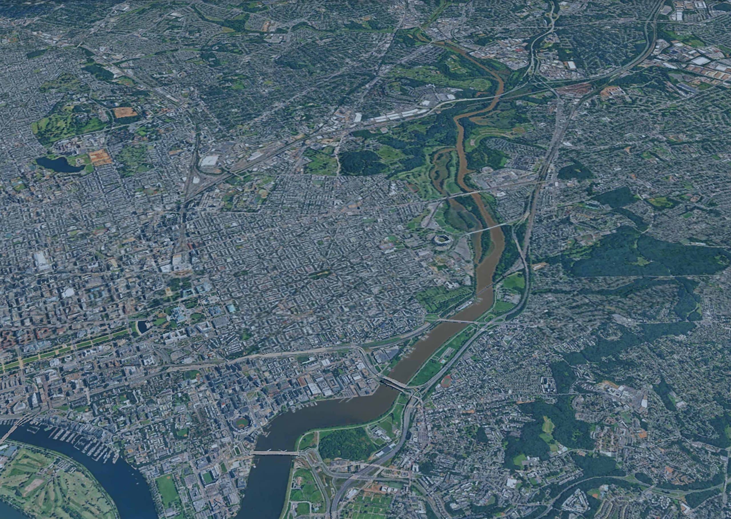
Anacostia River Corridor Restoration Plan, Washington, DCBiological/Habitat Assessment & Management Climate Change Resiliency & Adaptation Urban Wet Weather Water Resource Investigation & Management Waterway & Ecosystem Restoration
-
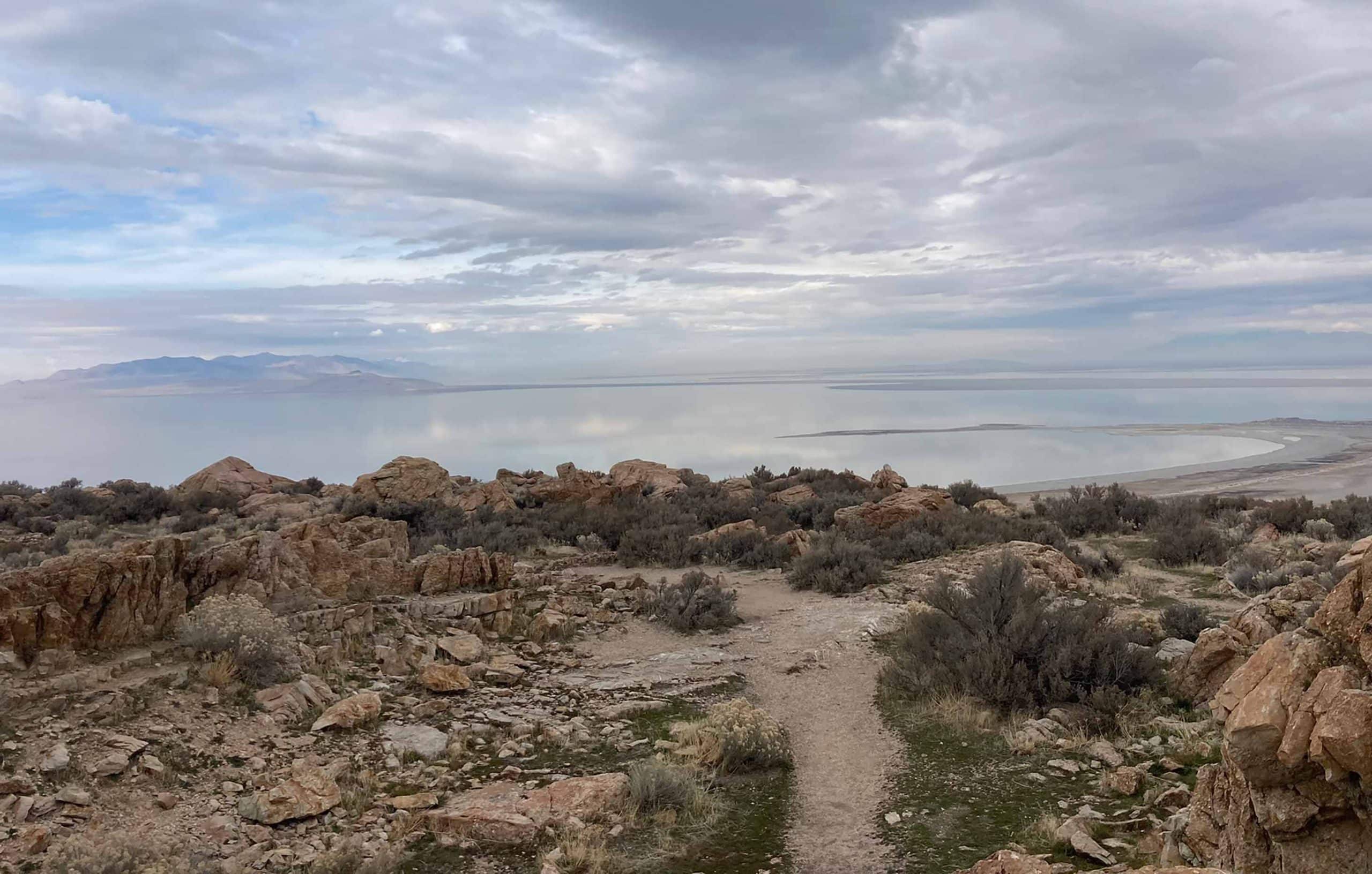
Great Salt Lake Stormwater Study, UtahClimate Change Resiliency & Adaptation Groundwater Supply & Remediation Urban Wet Weather Water Resource Investigation & Management Water Resources Modeling
-
Biodiversity Benefit Accounting (BioBA)Biological/Habitat Assessment & Management Climate Change Resiliency & Adaptation Sustainable Agriculture Water Resource Investigation & Management Water Stewardship
-
Water Quality Benefit Accounting (WQBA)Agricultural Environmental Services Climate Change Resiliency & Adaptation Sustainable Agriculture Water Resource Investigation & Management Water Stewardship
-
View Image
Read about this project: Programmatic and Technical Support for Coca-Cola’s Water Replenish Program
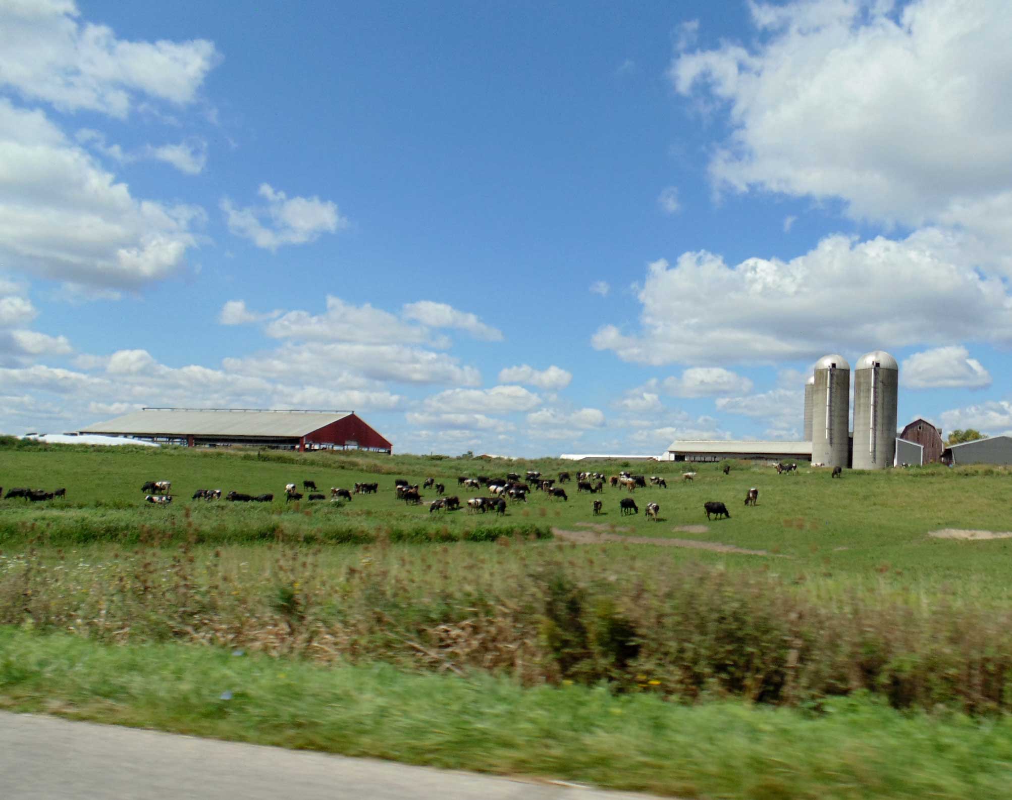
Programmatic and Technical Support for Coca-Cola’s Water Replenish ProgramAgricultural Environmental Services Climate Change Resiliency & Adaptation Environmental Data & Information Management Environmental Software Application Development Water Resource Investigation & Management Water Resources Modeling Water Stewardship Waterway & Ecosystem Restoration
-
View Image
Read about this project: Upper Wolf Creek and Ottawa-Stony Watershed Management Plans, Michigan
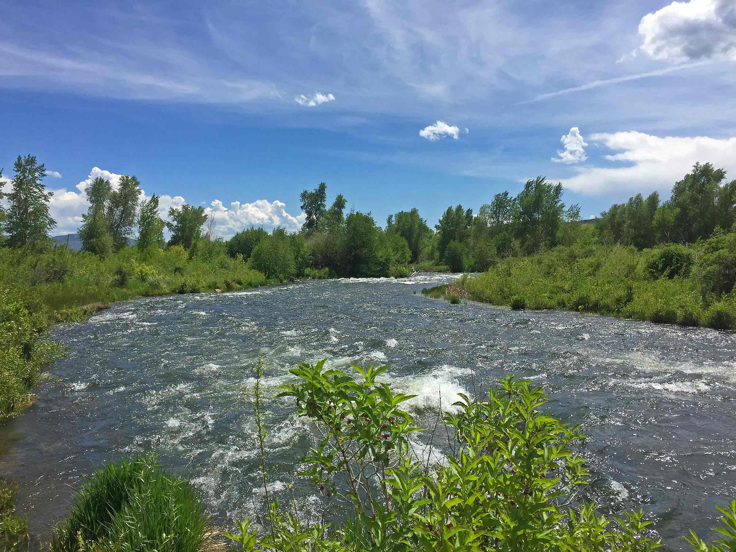
Upper Wolf Creek and Ottawa-Stony Watershed Management Plans, MichiganAgricultural Environmental Services Water Quality Monitoring Water Resource Investigation & Management Water Resources Modeling
-
View Image
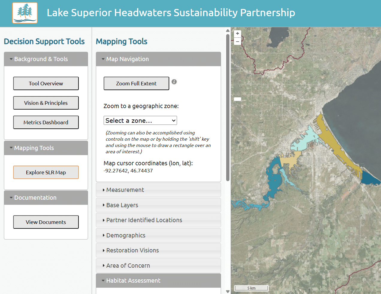
Read about this project: Lake Superior Headwaters Sustainability Partnership Decision Support Tool
Lake Superior Headwaters Sustainability Partnership Decision Support ToolClimate Change Resiliency & Adaptation Environmental Data & Information Management Environmental Software Application Development Water Resource Investigation & Management Waterway & Ecosystem Restoration