
Innovation. Lives. Here.
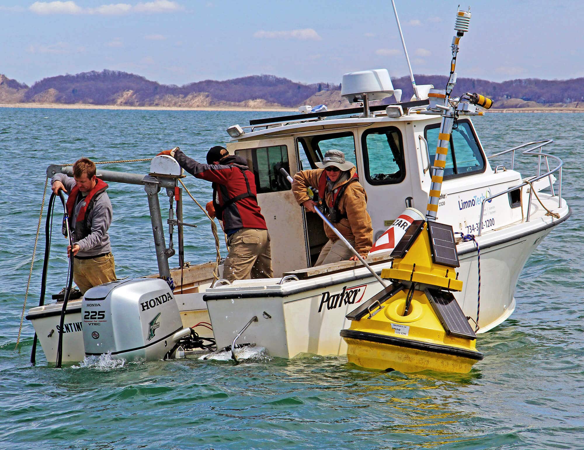
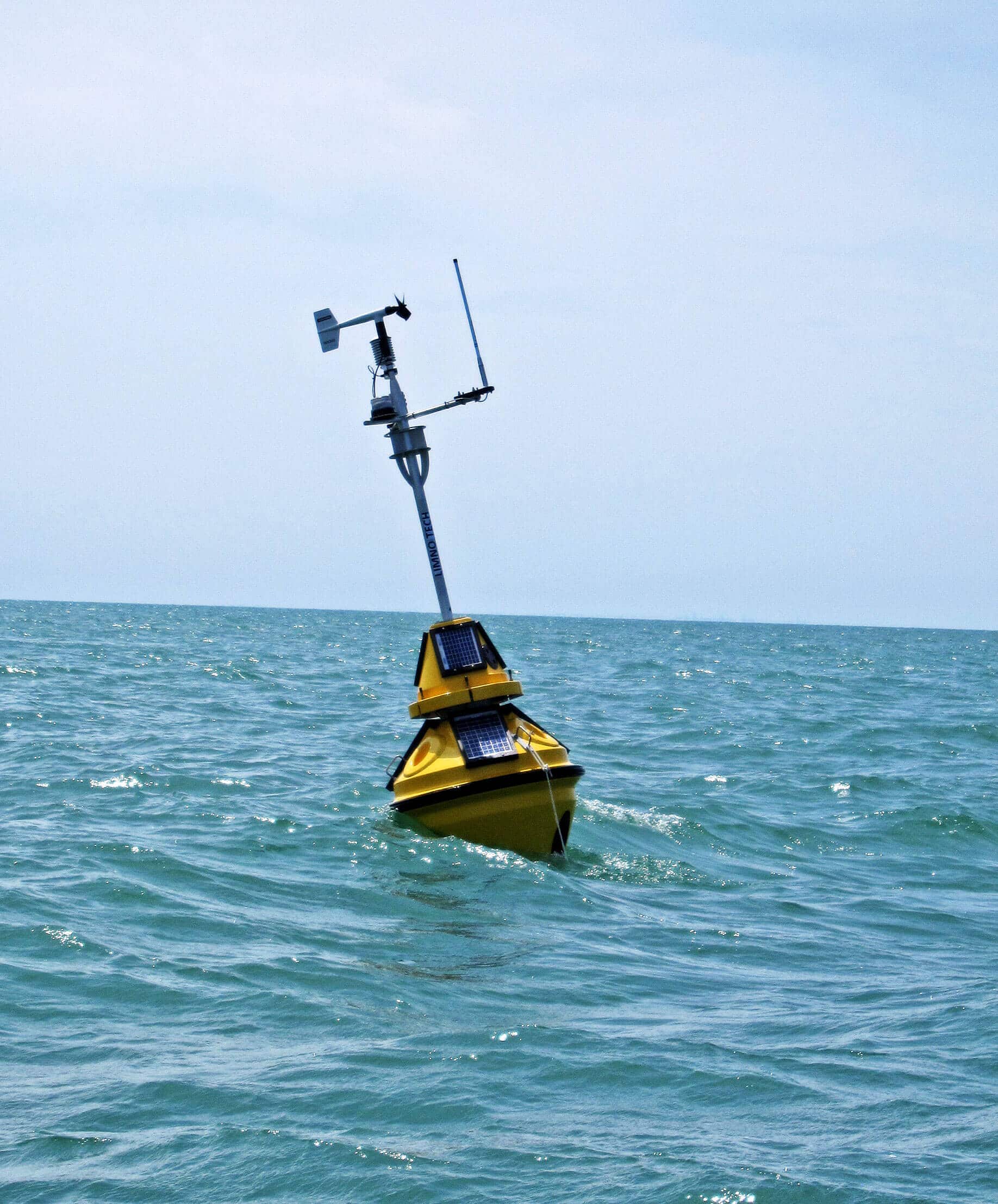
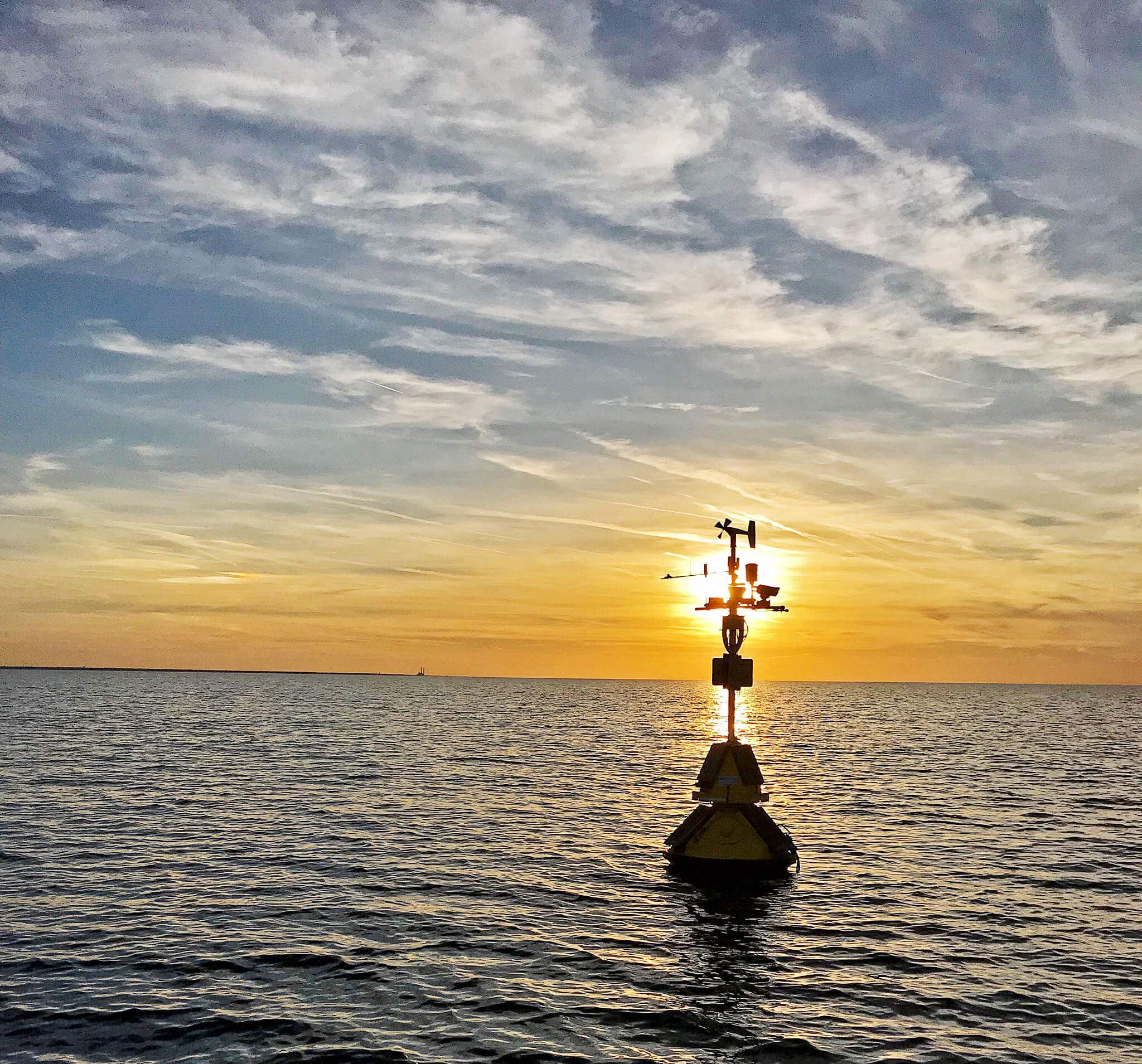
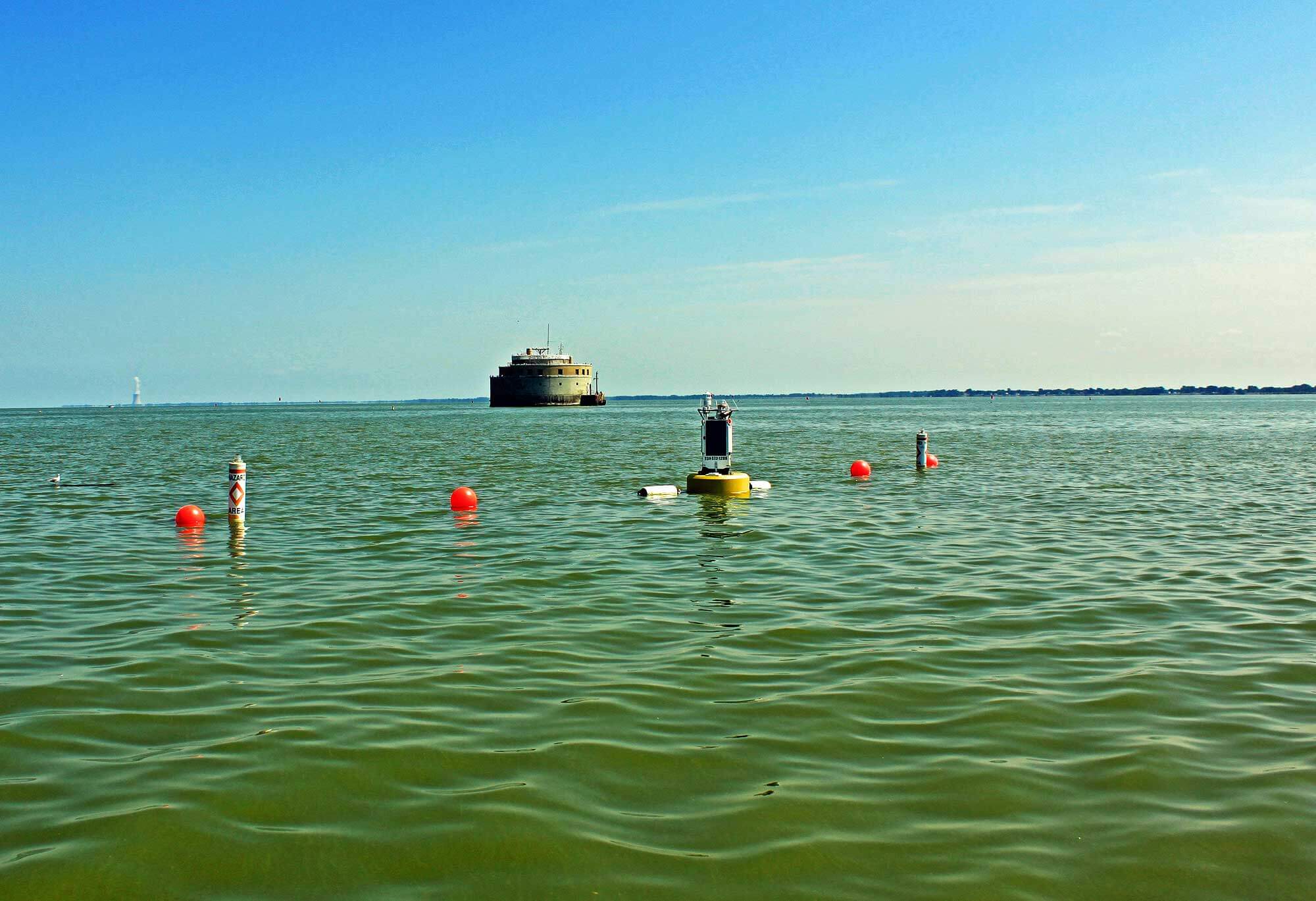
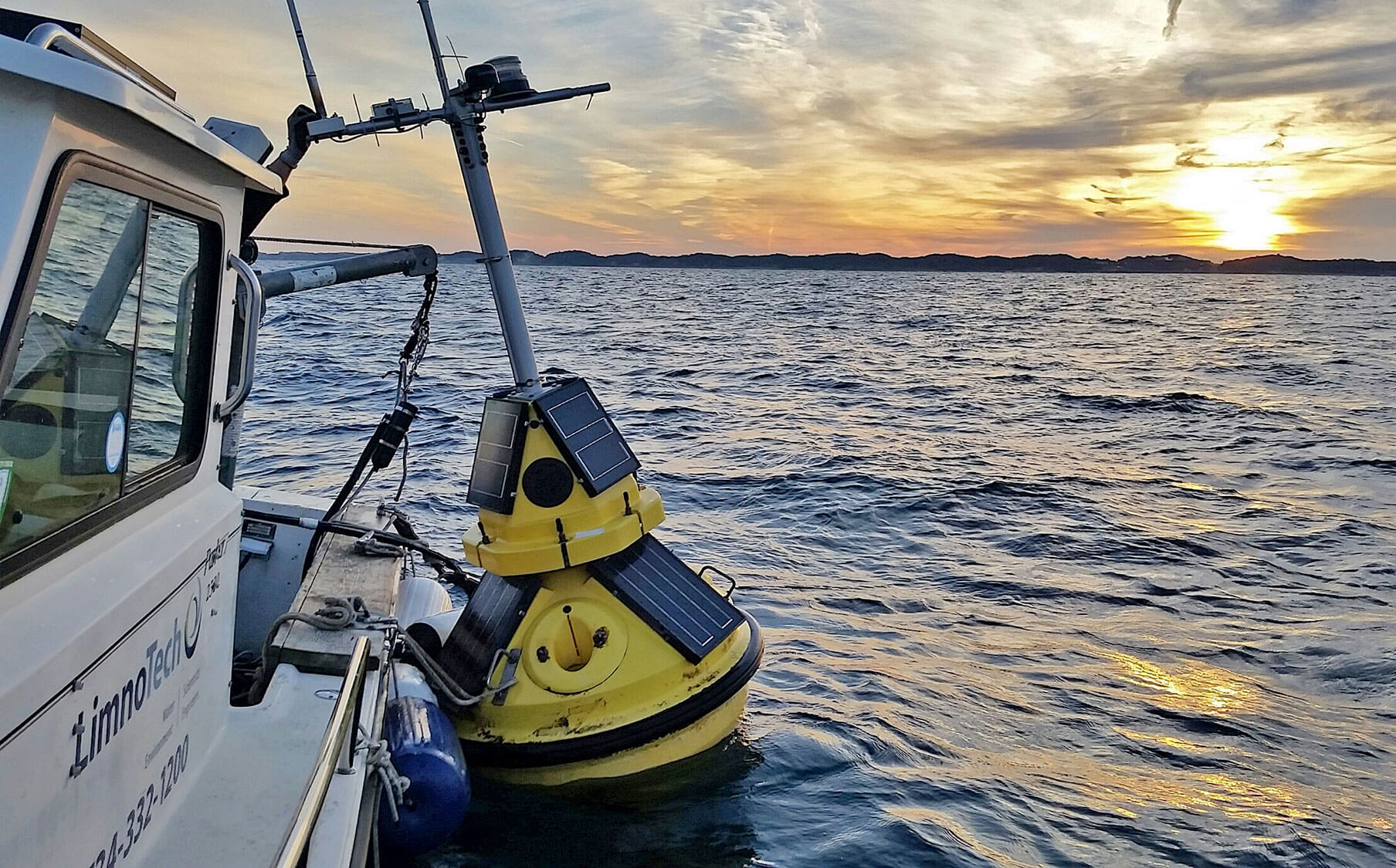
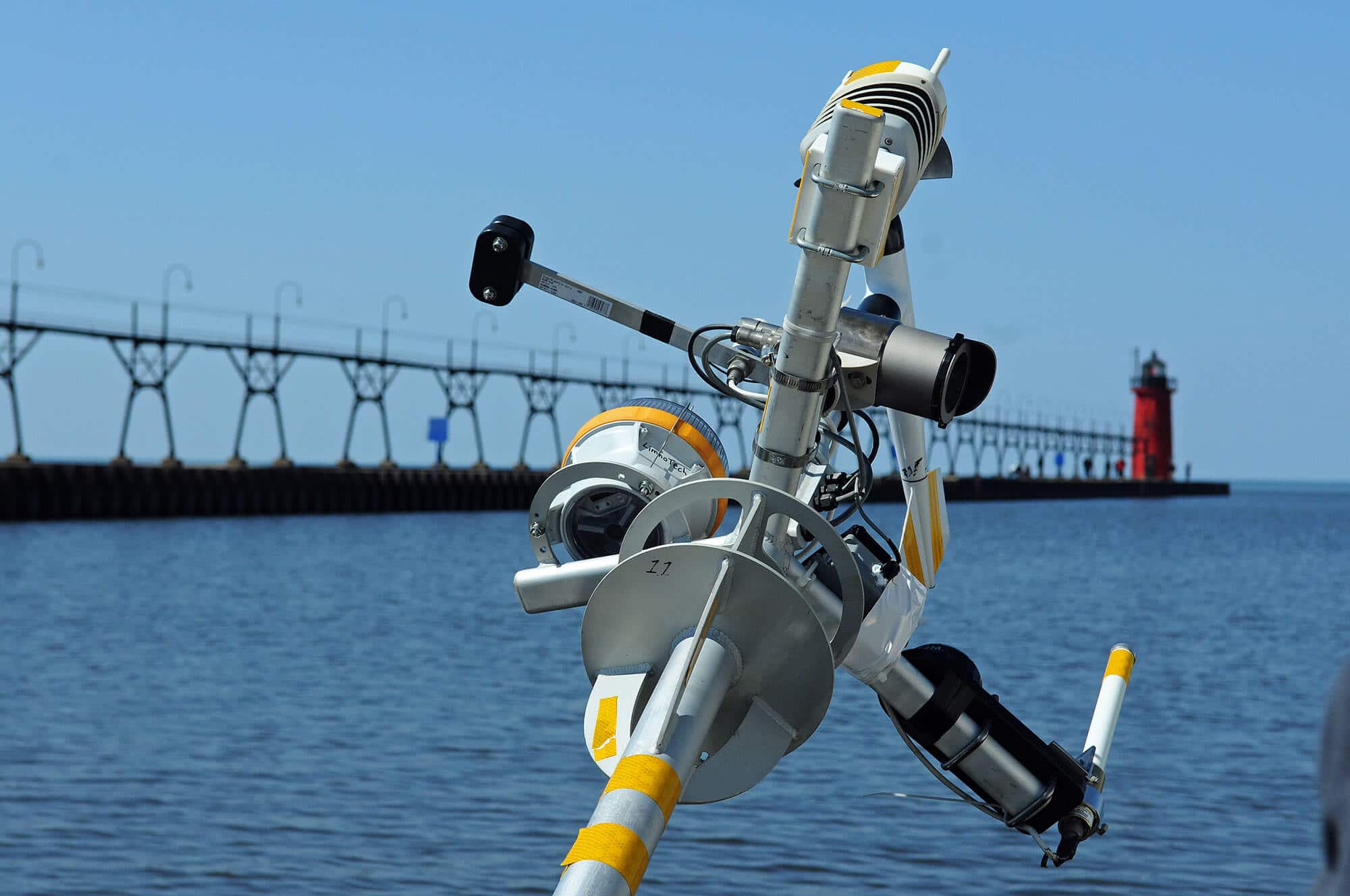
LimnoTech has helped public and private entities procure, deploy, and maintain environmental data buoys at nearshore locations across the Great Lakes. The buoys provide environmental scientists, drinking water operators, boaters, weather forecasters, search-and-rescue crews, and many others with publicly available, real-time lake and weather conditions via the web.
Data from the buoys can be viewed in real-time at limno.io.
Environmental Data Buoy Map
St. Joseph, Lake Michigan (45026)
Wind speed and direction, air and water temperature, relative humidity, and wave direction, height and period data are used to monitor offshore environmental conditions to support 316(b) permit planning for the D.C. Cook Nuclear Power Plant. The plant, owned by American Electric Power (AEP), funds this buoy.
Port Sheldon, Lake Michigan (45029)
Real-time observations of weather and wave conditions are used by boaters, anglers, tourism businesses, and many others to understand lake conditions to increase boating and swimming safety. Weather forecasters use the data to check and improve the accuracy of forecasts. This buoy was initially funded by GLOS, and is now fully supported by local organizations, businesses, and boaters.
Cleveland, Lake Erie (45164, 45169, 45176)
Weather, waves, and water quality are measured to support environmental studies, including a proposed offshore wind energy project. LimnoTech owns and maintains three buoys in the Cleveland Area with funding from the City, NOAA, GLOS, and the offshore wind company, Icebreaker WindPower.
Toledo, Lake Erie (45165)
Lake conditions (weather, waves, water quality, algae) near the water intake for the Collins Park Water Treatment Plant are continuously monitored to inform water treatment plant operators of any potential harmful algal bloom (HAB) formation. The City of Toledo Department of Public Utilities, Division of Water Treatment, supports this buoy.
Chicago, Lake Michigan (45174)
Weather and wave data are used by weather forecasters to forecast lake conditions. Boaters, anglers, paddlers, and local tourism businesses use the data to make decisions about personal safety before going out on the water. This buoy was originally funded by GLOS and the NOAA Coastal Storms Program, and is now supported by Illinois-Indiana Sea Grant and Purdue University.
South Haven, Lake Michigan (45168)
Real-time weather and wave data are used by boaters, anglers, tourism businesses, and many others to understand lake conditions to increase boating and swimming safety. Weather forecasters use the data to check and improve the accuracy of forecasts. This buoy was initially funded by the NOAA Coastal Storms Program, and is now supported by the City of South Haven, VanBuren County, Entergy, and several local organizations.

